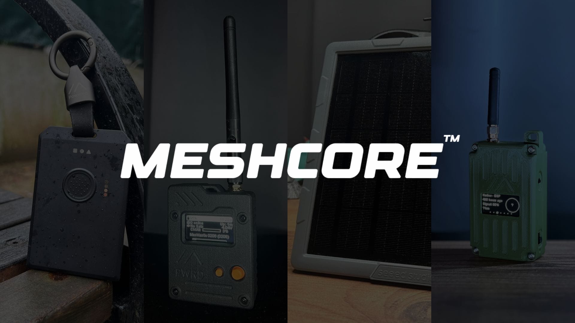
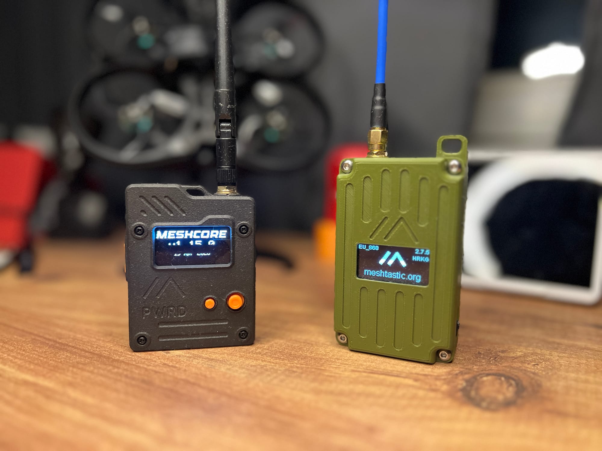
Pick your radio.
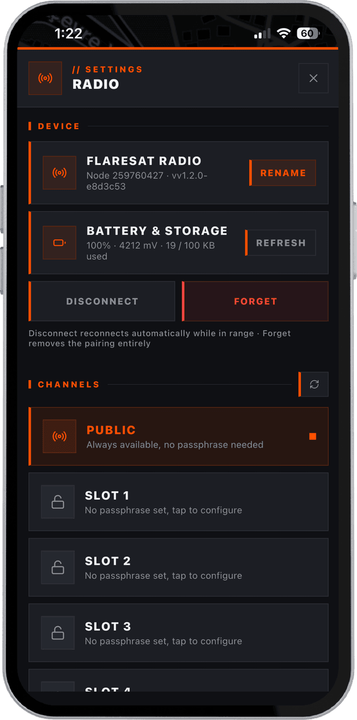
No phone signal needed. These radios pair with Maps over Bluetooth and work completely off-grid.
Radios we use.
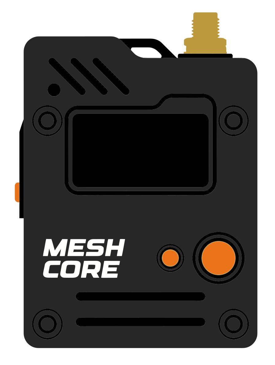
Not sure what to get? These are the radios we use and recommend for hiking and SAR.


SenseCAP Solar Node P1 Pro
- Range
- 20 km
- Battery
- 9+ days · solar
- Weight
- ~320 g
- Rating
- IPX5
5 W solar panel · 13,400 mAh · SMA antenna · Grove I²C
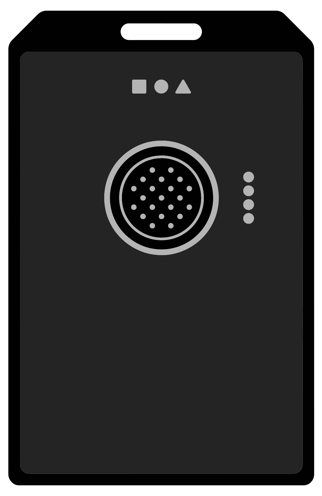
WisMesh Tag
- Range
- 10 km
- Battery
- 5–6 days
- Weight
- ~38 g
- Rating
- IP66
Accelerometer · 1,000 mAh · LED indicators
You need a radio.
Every person in your group carries a small LoRa device. It pairs to Maps over Bluetooth and transmits location, pins, and messages over radio waves, no SIM, no data plan.
Zero cell service needed
Location, pins, and messages travel over radio waves, no towers, no SIM, no plan.
AES-256 encrypted
Every transmission is encrypted with your group's private key. Invisible to outsiders.
Self-healing mesh
Messages hop from node to node. If one device goes offline the network reroutes.
Up to 10 km between devices
LoRa signals reach across open terrain, through dense forest, and into valleys where cell coverage doesn't exist.